

Geodetic engineering
Know exactly where your land ends.
Subdivision, relocation and titling services by two registered practices working as one team — signed, monumented, and carried through DENR or LRA approval.
Licensed
Geodetic Engineer 0007633
Two practices
AYL and MSS, one team
Three offices
Lian · Nasugbu · Mandaluyong
Approved
Carried through DENR and the LRA
How the work runs
You will never have to ask where we are.
Every job runs through named stages, each with a number of days against it that we set from our own work — not a brochure estimate. Drag along the line to see what happens when, and how long it takes.
“Shot & Map” (6 stages) covers 9 of 12 surveys: Aerial Survey, As-built Survey, Engineering Survey, LiDAR Survey, Lot Plans, Memorial Park Survey, Relocation Survey, Topographic Survey, Vicinity Maps. “Actual & Approval” (8 stages) covers 3 of 12 surveys: CAAP Permit, Subdivision Survey, Titling.


Commitment
The job goes on the books and into the survey queue. Terms are agreed per job and written down before anything starts.
Six of the eight stages on an approval job are ours. We are straight about the two that are not, rather than quoting you a speed we do not control.
What we do
Twelve kinds of survey. One question behind all of them.
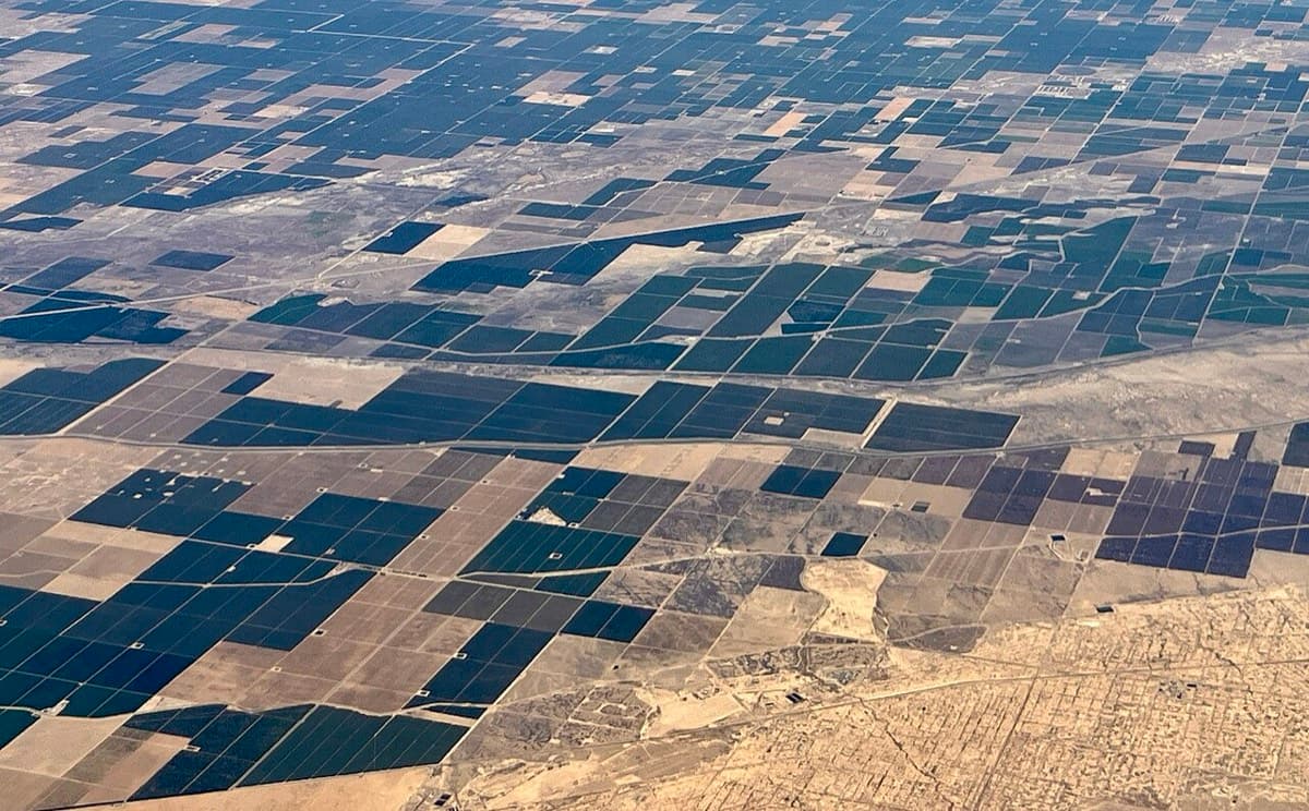
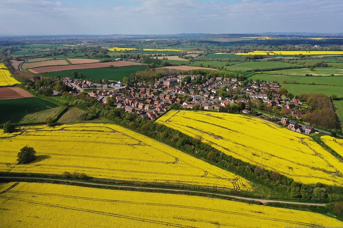
- Aerial SurveyPhotos and lasers from the air, for ground too large, too steep or too overgrown to walk.Ask about this →
- As-built SurveyRecording what was actually built, where it actually sits.Ask about this →
- CAAP PermitThe height a building may reach, settled before you design it.Ask about this →
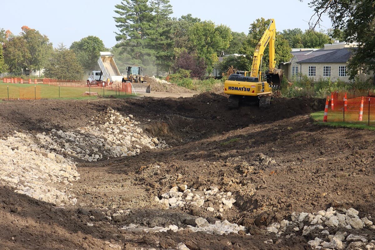
- Engineering SurveySetting out a road, a building or a drainage line on the ground.Ask about this →
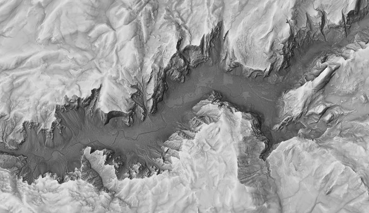
- LiDAR SurveyScanning a site into a measurable point cloud, with mobile and hand-held scanners.Ask about this →
- Lot PlansThe plan a bank, an office or a buyer asks you for.Ask about this →
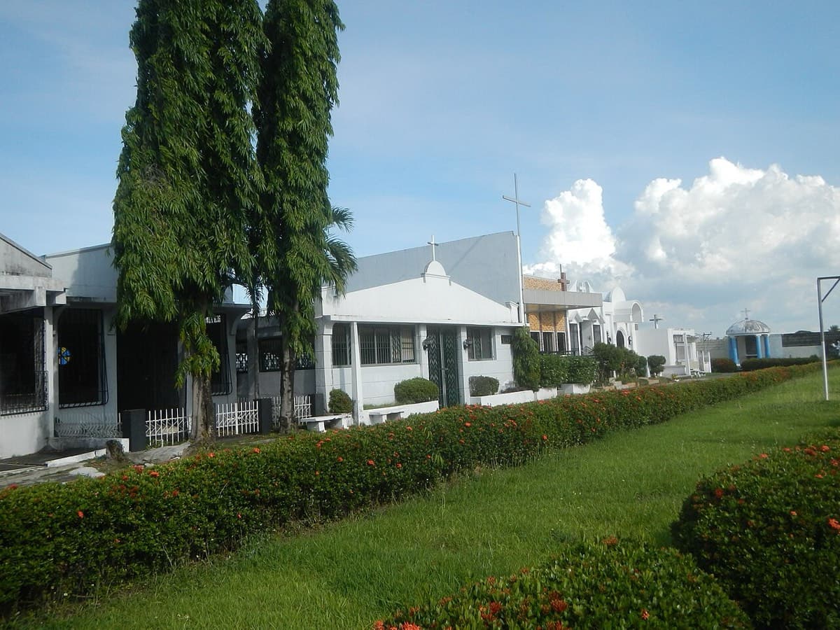
- Memorial Park SurveyThe blocks and lots inside a memorial park, marked out on the ground.Ask about this →
- Relocation SurveyFinding corners that were lost, moved or built over, and putting them back.Ask about this →
- Subdivision SurveySplitting one title into several — for children, for a sale, for a development.Ask about this →
- TitlingCarrying an untitled parcel through to a title in your name.Ask about this →
- Topographic SurveyThe shape of the ground before anyone designs on it.Ask about this →
- Vicinity MapsWhere the property sits in relation to everything around it.Ask about this →
- Tell us about your lot



Founder & CEO

Engr. Christian Ivor L. Madrigal
- Geodetic Engineer
- PRC Licensed
- Real estate broker
- PRC Licensed
- Drone pilot
- CAAP Licensed
- Training provider
- PRC CPD accredited
- Affiliation
- Geodetic Engineers of the Philippines
- Chapter
- National Capital Region
- In practice
- 20 years

A boundary is only settled when it is marked, drawn and approved.
What it costs
How pricing works.
Every survey is quoted individually — the area, the terrain, the document history and whether the plan needs approval all change the price. What does not change is that you pay against progress, and that the stages and amounts are written down before you agree to anything.
Surveys that need DENR or LRA approval
- 50%on acceptance
- 20%when the plan is submitted
- 30%when the plan is approved
Everything else
- 50%on acceptance
- 50%when the plan is delivered
These are the schedules we normally work to. The one on your job is whatever we agree, and it goes in writing before anything starts.
Where we are
Two offices in Batangas, one in Metro Manila.
For land work, knowing the ground is half of it — which municipality registers what, which approvals move quickly, and which corners have been argued over before.
Lian, Batangas
460 Meliton Lejano St., Brgy. 4, Lian, Batangas
Open in MapsMandaluyong City
600 Coronado St, Hulo, 1550 Mandaluyong City, Metro Manila
Open in MapsNasugbu, Batangas
J.P. Laurel St., Brgy. 2, Nasugbu, Batangas (Front of Registry of Deeds)
Open in Maps


Before you ring
Questions we get asked.
How much does a survey cost?
It depends on the size of the property, the terrain, the documents available, and whether the plan has to go to DENR or the LRA for approval. A relocation survey on a titled residential lot is a very different job from a subdivision that needs approval. Send us the title and the location and we will quote you — free, and with no obligation.
How long will it take?
The field work is usually days. The variable is government approval. We work to 60 working days for plan approval and allow up to 90 — that is the agency’s clock, not ours, and it is genuinely outside anyone’s control. We would rather give you the number we actually work to than a comfortable one. Surveys that do not need approval finish far sooner.
What documents do I need to give you?
Digital copies of the land title, front and back; a certified true copy of the title; the property location on Google Maps; and someone authorised to accompany the survey team if you cannot be there yourself. If you are missing any of these, say so — we can usually help you get them.
What's the difference between a relocation survey and a subdivision survey?
A relocation survey finds and re-marks the existing corners of a lot you already own — for fencing, a dispute, or peace of mind. A subdivision survey divides one title into two or more new lots, and that one needs DENR approval. If you are splitting land among heirs or selling a portion, it is the subdivision survey you need.
Do I need a survey before selling my land?
Not always legally, but almost always practically. Buyers and banks want to see that the boundaries on the ground match the ones on the title. A survey done before you list costs far less than a sale that collapses at due diligence.
My neighbour disagrees about the boundary. Can you help?
Yes. A relocation survey, signed and sealed and based on the technical description in your title, is the document that settles it. We set permanent markers so the boundary stops being a matter of opinion.
Do you set the concrete markers, or just give me the plan?
We set them — and we set them before the plan is drawn, not after. Finding your corners and marking them on the ground is the fourth stage of every job we run, so what gets drafted is what is actually on your land.
Can you do drone or aerial surveys?
Yes — photogrammetry or LiDAR survey of a tract of land, for large sites, rough terrain, and development work. It gives denser data than walking the ground, and you get digital elevation models and a topographic map out of it.
Do you work outside Batangas and Metro Manila?
Yes. Tell us where the property is and what you need done, and we will tell you straight away whether we can take it on.

Tell us about the lot. We will tell you what it takes.
What you need surveyed, and roughly where it is. No obligation — we answer every enquiry.